Mount Everest
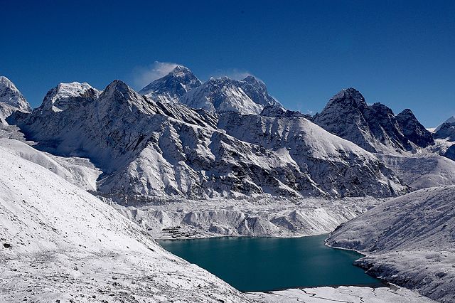
Mount Everest is the highest mountain above sea-level, with the elevation of 8,848.86 m (29,031.7 ft). It lies at the border of Nepal and China (Tibet). The Nepali-Chinese border runs through the peak of Everest.
The Nepali name of the mountain is Sagarmāthā (Head in the Great Blue Sky), and the Tibetan name is Chomolungma (Holy Mother).
The Great Trigonometric Survey, a project to measure the Indian subcontinent with precision surveying instruments (1802-1871) concluded in 1856 that Sagarmāthā/Chomolungma was the highest mountain in world. At that time the survey had labeled the mountain as Peak XV. It was named Everest by British after Sir George Everest, the second superintendent of the Great Trigonometric Survey. Before the precise altitude was confirmed Kanchenjunga was considered the highest peak in the world.
While Everest has the highest altitude above sea-level, the peak of Mount Chimborazo in Ecuador is farthest away from the center of the earth due to the equatorial bulge in the shape of the earth. The shape of the earth is an oblate spheroid.